Your Shopping Cart

No products in the cart.
Why FlightLine APRT
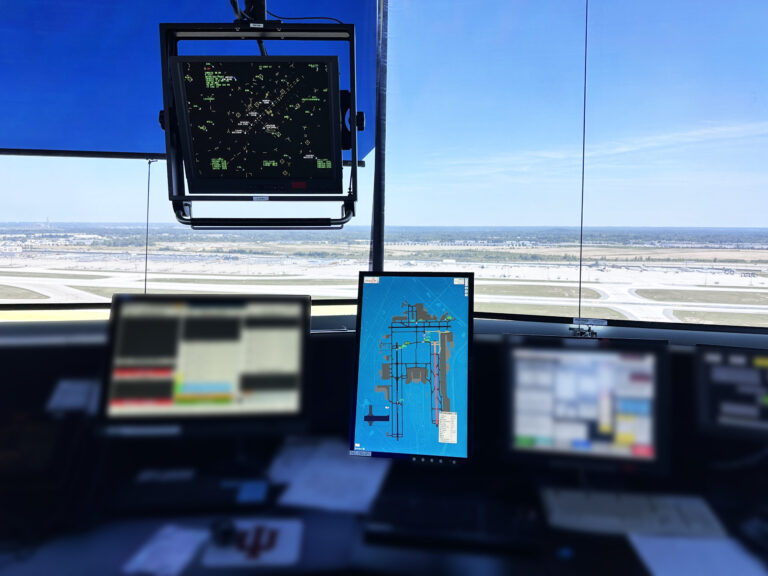
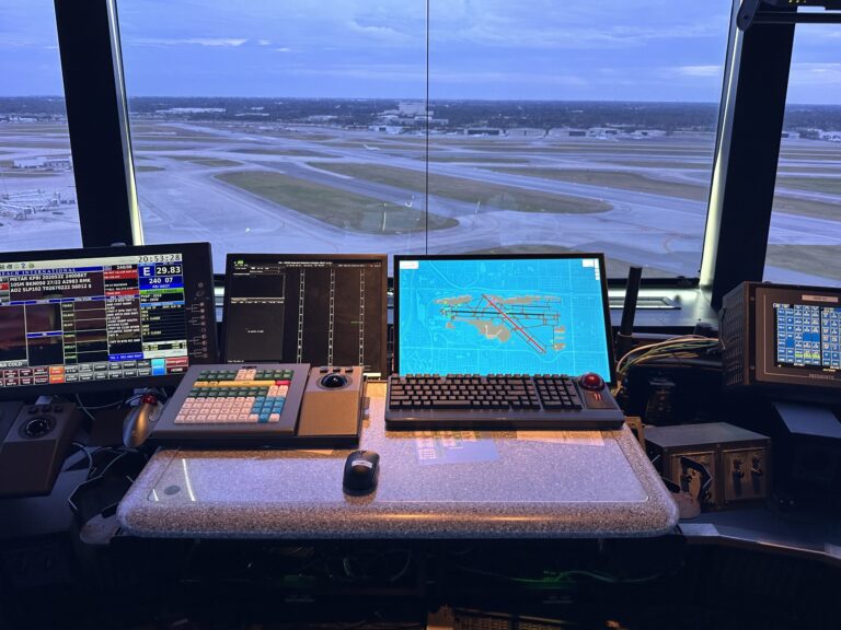
Designed specifically for the needs of Federal Contract Towers, FlightLine APRT bridges the gap between traditional radar displays and modern, web-based surveillance tools. With its STARS-inspired interface, affordable implementation, and seamless integration into air traffic control tower workflows, FlightLine APRT equips controllers with the real-time data they need to enhance safety and operational efficiency—without the complexity or cost of legacy systems.
FlightLine APRT is part of the uAvionix FlightLine ecosystem and shares infrastructure with the FlightLine Surface Awareness Initiative (SAI), allowing seamless air and ground situational integration. Easy to install, low-cost, and web-based—FlightLine APRT empowers controllers and airport ops with visibility like never before.
Significant Safety Enhancements and Increased Airspace Efficiency
Reduces controller workload and improves their ability to plan and respond
Low-Cost & Rapid Deployment
Commissioned like an AWOS or Navaid; deployable in weeks, not months.
FAA SDA Approved
Enables immediate acquisition by sponsor airports, delivering value through improved safety and efficiency.
STARS-Like Display
Familiar and intuitive interface for Airt Traffic Control tower personnel.
What is the FlightLine Airborne Position Reference Tool (APRT)?
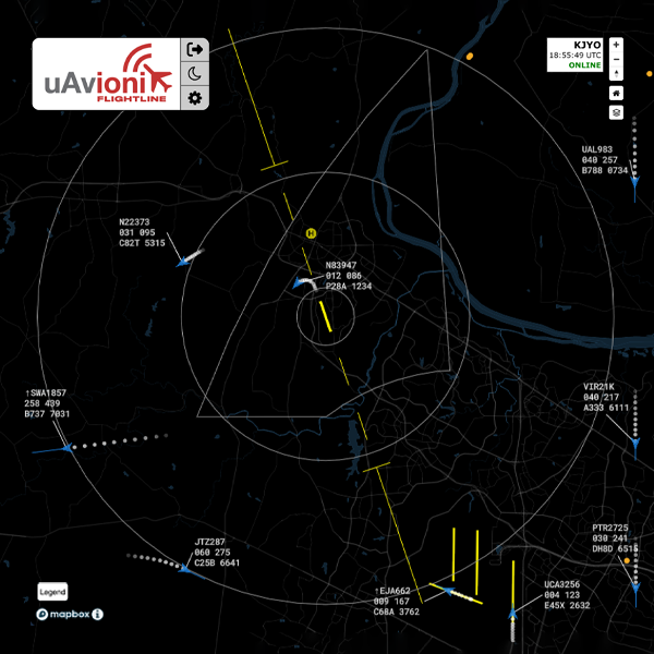
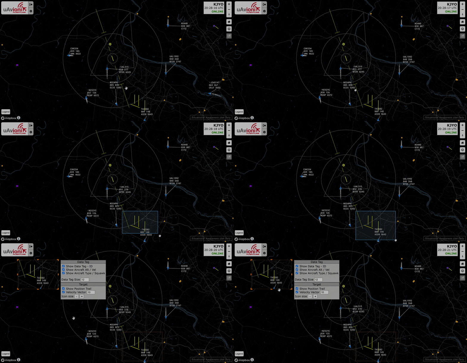
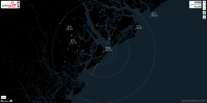
The system will significantly enhanced aviation safety and operational efficiency by providing controllers with a real time visual aid to display aircraft positions tailored to the local airspace environment. Enhanced situational awareness of the airspace will help controllers improve their overall service to aircraft, identify aircraft not in communication with the tower, quickly validate possible transponder concerns, improve the ability to assist distressed aircraft, provide traffic and terrain information and decrease potential risk of wrong airport landings.
Want FlightLine APRT for Your Airport?
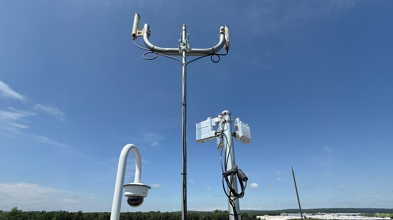
FlightLine APRT is engineered for light-touch installation and rapid deployment, a critical advantage for busy tower environments. Mimicked after the FlightLine Surface Awareness System (SAI) (link to webpage),currently deployed in over 14 FAA towers, the system primarily consists of a roof or pole mounted Ground-Based Receiver (GBR) and a cloud-hosted web application, eliminating the need for specialized hardware in the tower and airport construction projects for receivers or radar. A typical schedule showing full operation and sustainment will be completed within six months from contract award by the airport sponsor.
FAQ’s
APRT runs on a web-based platform and requires a uAvionix Ground-Based Receiver, a computer/display, and network connectivity. Site surveys determine optimal sensor placement.
Sponsor airports notify FAA PIM of their intent to commission under SDA. uAvionix supports documentation and system validation for final approval.
Yes. Licenses can extend to FBOs, airport ops, ARFF, and snow removal crews.
Airborne Position Reference Tool (APRT)
In this customer interview, air traffic controllers at State College Airport discuss their experience using the uAvionix FlightLine Airborne Position Reference Tool (APRT), including how it improves situational awareness, workflow, and operational confidence.
FlightLine APRT is an FAA-approved Airborne Position Reference Tool designed specifically for Federal Contract Towers and other airports seeking an affordable, modern surveillance display. Using ADS-B surveillance data and a STARS-inspired interface, APRT provides controllers with real-time traffic awareness without the complexity or cost of traditional radar systems.
Airborne Position Reference Tool (APRT)
Get the right solution for your mission-fast. Fill out the form below, and Avionix will provide more information about tailored solutions and pricing.
"*" indicates required fields